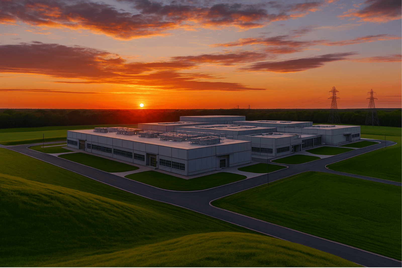
Optimizing Community Solar Projects on Constrained Sites


Key takeaways
- Buildable parcels are getting harder to find, and many sites get sized smaller than the program actually allows
- Zoning and land-use friction kills community solar projects that would otherwise pencil
- Higher-density, terrain-following layouts can recover full program capacity from constrained parcels
- Planted helps developers fit more MW on the land they can actually secure and permit
Community solar development has worked through most of the straightforward inventory. In active markets like Illinois, Maryland, New York, and Minnesota, what remains in development pipelines is land that would have been passed over a few years ago: slopes that pencil badly under conventional racking, acreage that comes up short by a megawatt or two, irregular geometries hemmed in by setbacks and wetlands, and sites where a landowner or a county is not going to permit significant grading.
This is not a temporary supply problem that more origination effort will solve. The interconnection queue pressure that pushed developers into these markets has worsened, and it's now arriving on top of higher build costs, jurisdictions that have grown wary as project volume climbs, and developers who have already underwritten a lot of marginal land once and watched it die in late-stage feasibility. The result is a pipeline dynamic where developers are spending more on origination and diligence to advance fewer viable projects. That math gets harder each year.
The core question most development teams are working through right now is whether some of those marginal sites are actually viable—just not under the deployment assumptions currently in use.
Why constrained sites matter now
Developers increasingly deal with:
- Difficulty finding parcels with enough acreage and viable interconnection
- Zoning and land-use friction: viewshed, residential proximity, competing land uses
- Smaller, fragmented, and irregularly shaped parcels
- Higher origination and diligence costs
Outdated deployment assumptions have a way of killing projects that would otherwise pencil.
Why constrained sites have become the default inventory
The land dynamics in community solar aren't complicated. Flat, contiguous, setback-clear parcels near interconnection were among the first to be developed. Increasingly, what remains skews toward more difficult terrain, smaller acreage, more complex permitting, and more fragmented ownership.
At the same time, interconnection has become the scarcest input. Developers who find a workable queue position increasingly need to make whatever land is adjacent to it work, rather than searching for an easier parcel in a different location. That inverts the old origination logic: you used to find land and then look for interconnection. Now you find interconnection and then try to make the land pencil.
That pressure concentrates on constrained sites. It also changes what a viable deployment approach requires.
Common constraints that derail community solar projects
Common constraints include:
- Limited acreage and project sizing
- Zoning and land-use restrictions
- Irregular parcel geometry
- Setbacks and easements
- Wetlands and environmental restrictions
- Sloped terrain
Limited acreage and project sizing
The most common acreage problem is a parcel that gets sized for less than the program actually allows. A developer with a 5 MWac program cap lays out a conventional design, the land only holds 3 MW, and they leave two megawatts of program capacity unbuilt. The project gets underwritten at the smaller size, and the gap between what the program permits and what the parcel was assumed to hold never gets recovered. That spread is where a lot of community solar value disappears, and it usually traces back to the layout assumption rather than the land itself.
Zoning and land use
Zoning is where a large share of community solar projects actually die. The first few projects in a county tend to move through without much friction. Once the volume picks up and a jurisdiction realizes how much land could change use, the process tightens: viewshed concerns, proximity to residences, competing agricultural or development interests, and organized opposition from neighbors. A project that pencils on every other metric can stall for a year or fail outright at the zoning stage. Layouts that use less land and disturb less of it give developers a more defensible position in front of a planning board, and they widen the set of parcels that can clear local review in the first place.
Irregular parcel geometry
Long narrow strips, setbacks around roads and residences, wetland buffers, utility easements—conventional solar designs handle irregular geometry poorly. Layouts that work on a rectangular parcel often strand 15–25% of an irregular one as dead space, which quietly degrades project economics without showing up explicitly in the feasibility model.
Sloped terrain
Cut-and-fill volumes that look manageable in early-stage estimates have a way of expanding through grading, and sites can die on that delta, often after substantial permitting and environmental spend.
The assumptions that make constrained sites look uneconomic
Several things get treated as fixed inputs in early-stage feasibility that are actually assumptions about deployment technology.
Land density is the big one. When a parcel gets laid out at 5–7 acres per MWp, plenty of otherwise workable sites come up short of the program-allowed project size, and developers either downsize the project or walk away from the parcel. With Planted, the same land often holds the full project at just 2 acres per MWp. The constraint is the layout assumption, not the acreage.
Grading scope and permitting complexity are usually treated as fixed inputs that reflect the site rather than the system. A deployment approach that generates substantially less earthwork changes the build budget and gives a developer a stronger position at the zoning and permitting stage.
Slope tolerance gets treated as a hard cutoff more often than it should. If the default assumption is that slopes above 10% require grading, then grading cost becomes a proxy for terrain, and a lot of land fails before it gets a real look.
Under these assumptions, marginal sites get dropped early and the development cost of that decision gets socialized across the rest of the pipeline. Many of those sites are inventory the team has already paid origination and diligence cost on.
Assumptions that often eliminate sites too early
Many feasibility models assume:
- Community solar requires 5–7 acres per MWp
- A parcel can only hold a smaller project than the program allows
- Irregular geometry significantly reduces usable land
- Civil scope is largely fixed
- Slopes above ~10% require major grading
Those assumptions may no longer hold under smarter deployment approaches.
How Planted changes the feasibility equation
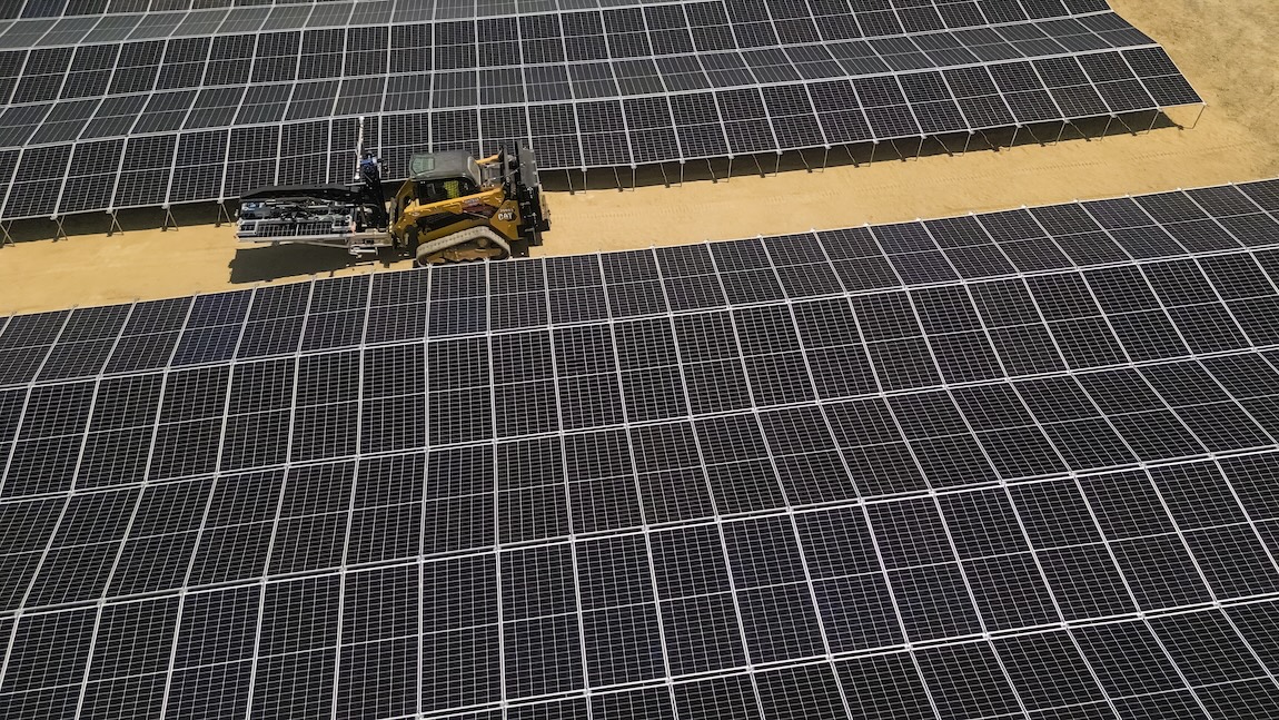
Planted's platform connects design software, terrain-following arrays, and automated installation into a single, vertically-integrated system. On a constrained site, that means the constraints get addressed together rather than one by one.
Land density runs around 2 acres per MWp. On a 5 MW-ac community solar project, that's roughly 15 acres of buildable area required rather than 40–50, which often means the difference between building the full program-allowed project size and leaving capacity on the table. Sites with irregular geometry use more of the parcel, including corners and narrow strips that conventional designs strand.
The same high-density, low-disturbance layout helps at the zoning stage. Using less land and preserving more of the existing site gives developers a more defensible case in front of a planning board, in markets where land-use opposition often stalls projects.
On terrain, Planted's arrays accommodate slopes up to 27%. Parcels that fail a conventional feasibility screen because of terrain often accommodate Planted's arrays with minimal earthwork. Vegetation is preserved more often. Sites stabilize faster, reducing the period of erosion and runoff risk and giving local AHJs less to push back on during permitting review.
Constrained sites accumulate execution risk at the handoff between planning and field. Planted's software closes that gap: the layout that minimizes grading is the same one that drives installation, without re-translation at the EPC stage. Change orders shrink, schedule risk shrinks, and the window between NTP and COD compresses, which matters when financing and incentive timing aren’t flexible.
Planted projects in the field
In Maryland, ZNRG is building a portfolio of community solar projects on parcels with terrain too uneven or acreage too limited to work under standard layouts—sites that other deployment approaches would have dropped. Maryland's interconnection environment is tight, and the ability to develop 50% less land per MWh changes which sites in the queue are worth pursuing and which ones get abandoned.
This Southeast utility-scale project scenario illustrates what's at stake when a constrained-site problem arrives late. A developer with a 100 MWac build, a hyperscaler offtake, and millions invested in permitting and interconnection faced a wetlands delineation that wiped out more than half the usable land and fractured what remained into disconnected sub-parcels. Under conventional assumptions, that project either shrinks substantially or dies. A Planted layout recovered full capacity—179 MWdc on 345 acres—by redesigning the site around what the land actually offered rather than what the original layout assumed.
For community solar specifically, this Illinois community solar project scenario is worth reviewing. A 40-acre parcel in the Chicago metro with approved zoning and interconnection had been designed with a conventional layout that left significant capacity on the table. A redesigned layout on the same acreage delivered 2.5x project NPV, with lower CapEx and faster build time.
Re-evaluating constrained parcels in your pipeline
The practical starting point is to revisit your sites that died in feasibility because of slope, acreage, or geometry. Most likely, they failed because the deployment toolkit assumed flat, contiguous acreage, not because the underlying project economics were broken. That's inventory your team has already paid to develop.
For sites still active, the questions worth settling early are concrete: what does grading scope look like under terrain-following racking? What capacity does the parcel actually hold at roughly 2 acres per MWp? What does the permitting narrative look like with substantially less earthwork? What does the schedule look like when civil scope is compressed? These are numbers you can get quickly. The economics either improve enough to change the decision or they don't, but either way you've replaced an assumption with an actual figure.
Send us the site. We'll run a fit assessment—grading comparison, MW recovery, layout on what the land actually offers—and walk through it with your team.
⸻
Frequently asked questions
How much land does a community solar project require?
It depends on the deployment approach. Planted's platform deploys at roughly 2 acres per MWp, compared to 5–7 acres per MW for conventional single-axis tracker layouts. On a 5 MW project, that's the difference between needing roughly 10 acres of buildable area and needing 25–35. The practical implication for origination is that parcels that don't meet the acreage threshold under conventional assumptions often work with Planted.
What slope can community solar be built on?
Planted's terrain-following arrays handle slopes up to 27%, which covers most parcels that conventional tracker designs require significant grading to accommodate.
Most conventional tracker designs run into significant earthwork requirements above roughly 10% slope, and grading costs tend to expand from early estimates as the design develops. The bigger issue is often permitting: counties that require low-disturbance conditions increasingly make grading a deal-breaker regardless of cost. Terrain-following arrays that adapt to existing grade rather than requiring it to be leveled change both variables: civil scope shrinks and the permitting conversation is different. Sites that fail a standard feasibility screen because of terrain often work with minimal earthwork under Planted's system.
Can community solar be built without grading?
On many sites, yes. Planted’s terrain-following arrays adapt to uneven ground rather than requiring it to be leveled, which reduces or eliminates the cut-and-fill scope that drives most civil cost and permitting friction. Sites where a landowner wants pasture or vegetation preserved, or where a county has made low-disturbance a condition of approval, are often viable candidates. The site still needs to meet slope and acreage thresholds, but grading restriction alone doesn't disqualify it.
What are the options when a community solar site loses usable acreage?
Under conventional layouts, significant land loss from a wetlands delineation, an easement, a permitting setback usually forces a capacity reduction or kills the project, with whatever permitting, environmental, and interconnection spend already absorbed as a loss. Planted’s high-density terrain-following layouts recover more capacity from remaining buildable area. In this Southeast scenario we've modeled, a developer facing loss of more than half their usable land recovered full project capacity on what remained. The specific recovery depends on site geometry and how the land loss is distributed.
⸻
About Planted Solar
Planted Solar is redefining solar deployment with an integrated hardware and software platform that pairs high-density, terrain-following arrays with automated installation. Planted's smarter, streamlined approach helps developers, EPCs, and IPPs unlock more land, lower costs, and build projects in half the time—delivering stronger project outcomes and accelerating the delivery of abundant energy.
Title - Questions to the client
Lorem ipsum dolor sit amet, consectetur adipiscing elit, sed do eiusmod tempor incididunt ut labore et dolore magna aliqua. Ut enim ad minim veniam